DJI Drones Africa: Models, Features, and Applications
The drone ecosystem in Africa has
developed within a short period of time. Aerial intelligence is now used by
governments, individual enterprises, researchers and developers of
infrastructure to make quicker, safer and more sound decisions. At the centre
of this transformation are DJI Drones, known for reliability, precision
engineering, and enterprise-grade innovation.
Organisations working with a trusted drone dealer in Africa increasingly seek drones that deliver consistent performance in diverse terrains, from deserts and coastlines to dense urban zones and remote rural regions. This blog discusses the model of DJI drones, which have been highly embraced throughout Africa, their innovativeness, and practical uses leading to quantifiable change.
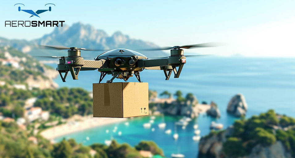
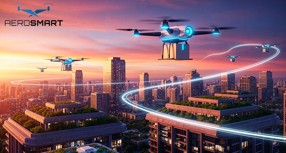
DJI Drone Adoption in Africa
The geography, climate, and
operational requirements determine drone adoption in Africa. Drones are a
viable technology that is not a luxury, given their extensive range, limited
ground accessibility, and the need for real-time information. DJI has
retaliated with endurance, sensor flexibility and smart automation platforms.
The DJI ecosystem is a combination of
aircraft, payloads, software, and cloud processes. This integrated method
enables surveyors, engineers and inspectors to fly to analysis and vice versa
with minimal friction. DJI platforms offer long-term scalability and dependable
after-sales support for organisations working with a professional drone dealer
in Africa.
DJI Models That are Enterprise-Grade
The enterprise range of products takes
control of professional activities within Africa. There are two series that are
of industrial and governmental use.
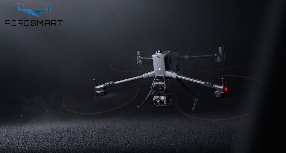
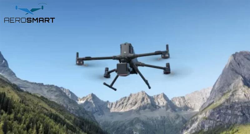
DJI Matrice
Enterprise Series
The DJI Matrice 4E and 4T are new
generation of drones designed to perform complicated missions. These systems
accommodate high-level mapping, inspection, and thermal analysis and high
operational stability.
·
The Matrice 4E is aimed at surveying and mapping with high
accuracy. It comes with an inbuilt and wide-angle camera with optimisation
towards photogrammetry, which provides correct 2D maps and 3D models. Its
stability in flight and intelligent planning of its missions render it suitable
for massive land surveys, infrastructure planning and environment monitoring.
·
Matrice 4T has an extension of the features with a thermal camera,
low-light sensors, and laser range finding. It can be used to aid in the safety
of the community, emergencies, and wildlife management, as well as at night.
The platform performs well where there is a need for situational awareness and
it is time-sensitive.
Both models provide enterprise-grade
redundancy, obstacle avoidance and secure data workflow, which qualify them to
be used in regulated and mission-critical environments.
DJI Mavic 3
Enterprise Series
The Mavic 3 Enterprise series is a
favourite in situations that need portability without affecting the quality of
data. It is small, lightweight, and easily transportable and matches the
requirements of professionals working in dynamic field conditions.
The Mavic 3 Enterprise has a
mechanical camera with a shutter, which is meant to minimise motion blur and
enhance mapping. It enables quick coverage of areas and is applicable in the
construction monitoring task and in inspecting their assets.
Mavic 3 Thermal is the model that
combines the visual sensors with thermal imaging, and it allows checking the
power lines, the solar farms, pipelines, and search missions. Its small size
enables teams to work effectively and with minimum setup durations and still
deliver top-quality outputs.
Advanced DJI Drone Features
The strength of DJI is not necessarily
the hardware but also the embedded intelligent features of its enterprise
platforms. These technologies directly increase productivity and the
reliability of the data.
·
RTK positioning is one of the most useful features, as it allows
achieving centimetre accuracy without having to use extended ground control
points. This is an important feature because it saves hours in the field and
enhances data reliability, especially for surveyors and mapping experts.
·
The system of obstacle sensing and avoidance offers safer flights
in thick environments. Such sensors enable drones to move through complicated
infrastructure sites, cities and rough areas without any hesitation.
·
Corridor mapping, waypoint inspections, and terrain-following
flights are intelligent flight modes. They guarantee reproducible outcomes that
are necessary to track progress and report compliance.
·
The non-contact inspection and monitoring made possible through
the thermal imaging integration. This technology is applied in industries to
monitor changes in heat, stress on equipment and environmental differences
without interrupting the operations.
·
Data processing security is a critical need. DJI enterprise
platforms provide local data modes and encrypted storage, which can be used by
organisations that have stringent data governance policies.
Mapping and Surveying Applications
Mapping is one of the oldest
applications of drones in Africa. Proper geospatial information aids in
infrastructure development, land administration and resource management.
Surveyors and engineers use DJI drones
to produce high-resolution orthomosaics, digital surface models, and volumetric
calculations. Such outputs minimise the use of manual surveying systems to
enhance safety and efficiency.
A professional mapping company
benefits from DJI's integrated software compatibility, allowing seamless
processing in industry-standard photogrammetry platforms. The outcome is that
it will deliver projects faster and enhance confidence in the accuracy of data.
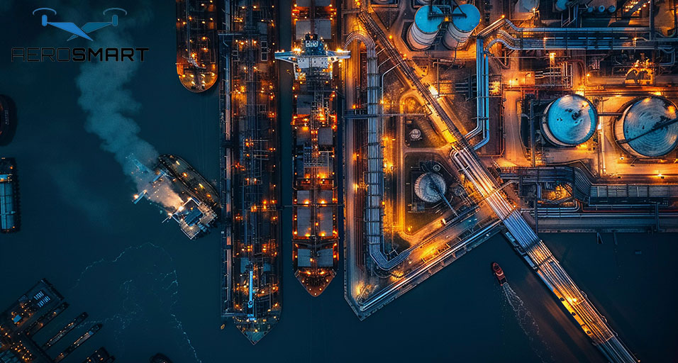
Drones are used in mining and
quarrying to measure the stockpile, plan and even report adherence. Frequent
aerial surveys give more recent information and do not disrupt operations.
Agriculture and Environmental
Surveillance
Agriculture has been one of the
pillars of African economies and the use of drone technology has made the
industry more productive and sustainable. DJI drones support crop assessment,
irrigation planning, and land-use analysis.
The high resolution enables farmers
and agronomists to understand the stress in plants, drainage, and uneven
growth. An early diagnosis allows specific intervention to be designed, lowers
the input expenditure and yields.
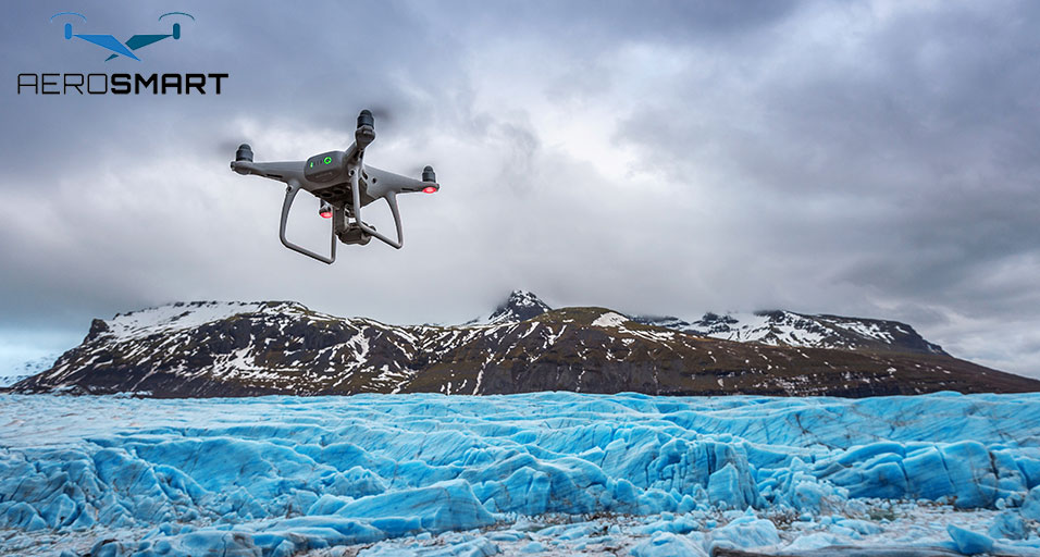
Drones are employed in monitoring
wetlands, wildlife habitats, coastal erosion and deforestation by environmental
agencies. Aerial data is used to reinforce evidence-based conservation measures
and long-term environmental planning.
Construction and Infrastructure
Use
The development of infrastructure in
Africa requires proper monitoring of the progress and minimisation of the
risks. DJI drones provide project managers with consistent aerial updates
throughout construction lifecycles.
Drone data aids engineers in checking
the adherence of the design, monitoring the earthworks, and ensuring that the
site is safe. Frequent flights generate visual documentation that underpins
open-minded reporting and communication with the stakeholders.
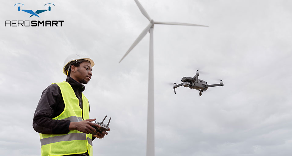
In the case of energy infrastructure,
like solar farms, wind installations, and transmission lines, drones save time
in the inspection process and enhance the level of safety as they do not
require such locations to be approached manually.
Emergency and Public Safety
DJI drones are being used more and
more by public safety agencies to provide them with situational awareness
quickly. Search and rescue operations, disaster management, and crowd
surveillance are assisted by thermal imaging and zoom cameras, as well as night
operation capabilities.
When floods, fires or industrial
accidents occur, drones offer real-time aerial visibility to inform
decision-making and the allocation of resources. This is a feature that
improves the effectiveness of responding to it and minimises the risk to the
personnel.
Selection of the Right DJI Partner
The deployment of drones cannot be
successful only based on the choice of hardware. Regulatory direction,
training, maintenance and operational assistance are also important.
Organisations working with an
experienced drone dealer in Africa gain access to certified equipment,
technical expertise, and long-term operational support. The partnership will
guarantee adherence, streamlined processes, and a profit-rich investment.
Similarly, a professional mapping
company leverages DJI platforms to deliver consistent, high-quality geospatial
data across diverse projects and regions.
Future of DJI Drones in Africa
Drone technology will become more
strategic as the modernisation of the African industries goes on. DJI is aiming
to move towards intelligent automation, sensor innovation, and integrated
ecosystems, making its platforms the pinnacle of this change.
Since the era of precision mapping and
environmental stewardship, up to the development of infrastructure and the
overall safety of people, DJI Drones are still capable of making smarter
decisions and fostering sustainable development on the continent.
Frequently Asked Questions
1. What type
of drones by DJI best fit the African industry?
Enterprise drones such as Matrice and
Mavic Enterprise series are appropriate in the African environment because they
have high flight stability, sensors, and stability in working in a wide range
of climates and terrains.
2. What are
some of the ways in which the DJI drones assist with a professional mapping
project?
DJI drones have high objective
resolutions, RTK precision, and programmed flight planning, which allow
surveyors to obtain accurate geospatial information with minimal effort and
present dependable mapping results on a regular basis.
3. Can DJI
drones be used for long-term infrastructure surveillance?
Indeed, DJI drones are favoured by
repeatable missions, intelligent flights on waypoints, and quality imaging,
which means they are the most suitable drones to be used in continuous
monitoring of a construction, energy, and transportation infrastructure project.
4. Which
industries can gain the most in Africa with the use of DJI drone technology?
The major industries that will be
enhanced by this access to data are in agriculture, mining, construction,
environmental management, energy and the safety of the people and the
operations.
5. Why is
professional assistance important in the deployment of DJI drones?
The help of the professionals enables
the following of the regulations, adequate installation, training of the
pilots, and maintenance, which will help the organisations to achieve credible
results, as well as to prolong the working life of their drone systems.
6. Are DJI
drones functional in problematic African conditions?
The drones produced by DJI Enterprise
are stable, can overcome obstacles, and can survive in different conditions
like heat, wind and remote areas.
Recent Posts

About
Empowering industries with cutting-edge drone technology, DJI Enterprise solutions, and expert support across the UAE and beyond.
Contacts
-
Address
Office 203, Al Tayer Commercial Building, Rolla Street, Bur Dubai, UAE
-
Phone
+9714 2238380 / +97150 157 6093
-
Email
-
Whatsapp
My Account
Customer Service
Subscribe to our newsletter for regular updates about Offers, Coupons & more
Follow Us
Empowering industries with cutting-edge drone technology, DJI Enterprise solutions, and expert support across the UAE and beyond.
-
Address
Office 203, Al Tayer Commercial Building, Rolla Street, Bur Dubai, UAE
-
Phone
+9714 2238380 / +97150 157 6093
-
Email
-
Whatsapp
