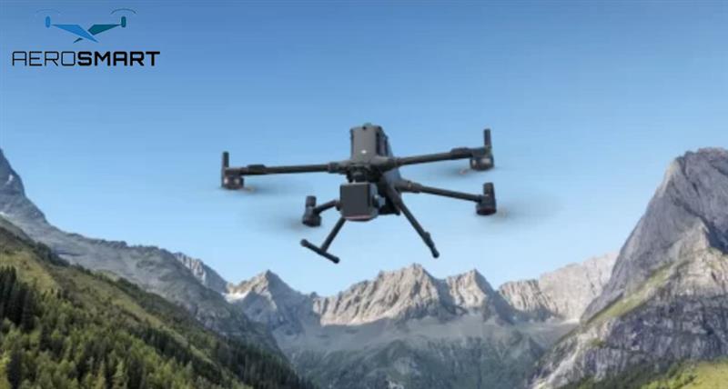
DJI Zenmuse L3 vs L2: What’s New and Why It Matters
DJI continues to push the limitations
of advancement in aerial mapping along with LiDAR innovation. This is impactful
with the coming of the DJI Zenmuse L3, a beneficial successor to the DJI
Zenmuse L2. Such professional drones offer precision in capturing using drones,
and make it ideal for use across industries. It is known for its imaging and
wide range covering efficiency. The new features included are:
·
Enhance detection range
·
Laser specification
·
Advanced camera upgrades
·
Better coverage per flight
·
Advanced scanning and penetration
capacity
The latest generation drone model
brings remarkable upgrades in accuracy and effective imaging performance. This
results in professionals planning to buy DJI drones, as the newest launch sets
the standard high to buy the latest in aerial surveying.
Comparative Analysis of DJI
Zenmuse L3 vs L2
The new model is built on the
foundation of the DJI Zenmuse L2, and the upgrades are:
2.
Accuracy and Precision of Imaging
There is ±3 cm vertical and ±4
cm horizontal accuracy, and L3 delivers effective data control.
This makes the series suitable for inspection projects to have reduced error
margins and fast project completion.
3.
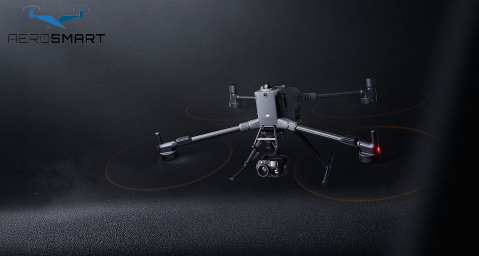
Camera and Imaging Capacities
The new model comes with two 100 MP 4/3”
CMOS cameras. But the L2 only has a single 20 MP, resulting
in a wider 107° FOV and rich
colour. Users can easily capture RGB data with details in a single flight.
4.
Coverage and Efficiency
The shift is from 2.5 km² per flight to
100 km² per day, boosting
efficiency. The L3 comes with several scanning modes, such as linear and
non-repetitive, making it suitable for diverse projects.
5.
Design and Compatibility
The new model weighs 1.6 kg, with a power
consumption of up to 100 W, but it has an
IP54 rating. The stability makes it
suitable for excellent field performance.
An Advancement in the LiDAR Drone
Technology
The high standard of
functions in Zenmuse L3 is due to its premium-quality LiDAR system. This
upgrade in LiDAR from L2 makes the latest drone series achieve better detection
range, up to a range of 950 metres, even for objects which is hardly visible.
This is double the range capacity of the DJI Zenmuse L2, and thus a preferred
choice for the mapping professionals to get accurate research details.
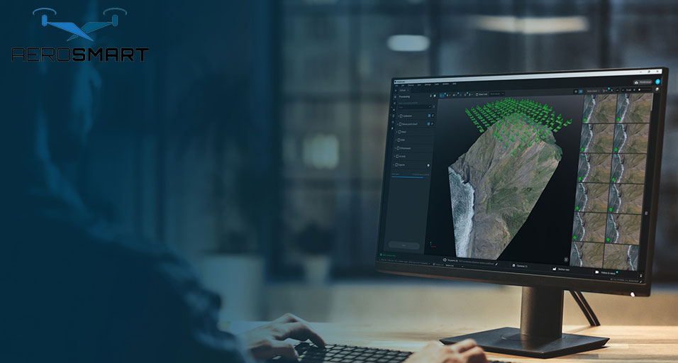
The LiDAR technology helps
achieve flexibility in its capturing range with a precise outcome, which helps
capture accurate data, even when taken from high altitudes and over a large
area, in a single shot.
For most UAE businesses in construction, infrastructure, energy inspection and land surveying, such a significant advancement in drone features over the previous one helps deal with simpler and challenging environments at ease.
How Does the DJI Drone
Upgrade Help Modern Businesses?
The DJI Zenmuse L3 is more than a technical improvement. It allows
businesses to capture more precisely and accurately, and can be used for
imaging of challenging and large areas across industries, such as oil
and gas, construction, agriculture, and others.
With the latest drone series, it is easy to capture longer-range LiDAR
data with a few flights helps with the following:
·
It lowers the operational charges
·
It helps achieve high accuracy in the
project
·
It helps report faster, ensuring
accuracy
·
It results in enhanced ROI for drone
investments
Dubai’s commitment to modern digital transformations aligns perfectly
with such upgrades. From mapping, surveying, to coastal monitoring, and
industrial work, the high-precision LiDAR system installed in Zenmuse L3
ensures efficiency. These are crucial to consider when business owners are
planning to buy DJI drones.
Therefore, the new version of
the DJI drone is geared for effective aerial mapping, redefining how industries
are using drones for precise results. It helps achieve accurate special data,
ensuring there are no errors in the data captured.
Recent Posts


About
Empowering industries with cutting-edge drone technology, DJI Enterprise solutions, and expert support across the UAE and beyond.
Contacts
-
Address
Office 203, Al Tayer Commercial Building, Rolla Street, Bur Dubai, UAE
-
Phone
+9714 2238380 / +97150 157 6093
-
Email
-
Whatsapp
My Account
Customer Service
Subscribe to our newsletter for regular updates about Offers, Coupons & more
Follow Us
Empowering industries with cutting-edge drone technology, DJI Enterprise solutions, and expert support across the UAE and beyond.
-
Address
Office 203, Al Tayer Commercial Building, Rolla Street, Bur Dubai, UAE
-
Phone
+9714 2238380 / +97150 157 6093
-
Email
-
Whatsapp
