PIX4Dsurvey: Turning Point Clouds into CAD-Ready Data

Nothing beats the efficiency of simplifying raw,
complex data. Pix4DSurvey becomes a practical solution for experiments as it
delivers accurate data. The spatial data that is drone captured includes vital
data, which can only be used in a structured form. It can readily be used as
measurable data in a workflow.
Is it challenging to Access Point Clouds?
Point clouds are complex data structures, and
converting them can make the data easier to comprehend. The cloud contains
various data points that help us know about the structures and surfaces. This software
helps with effective data processing, without which it may be difficult to read
complex data. Engineers often have to struggle to understand complex data,
ensuring accuracy. This is when the software simplifies the task and helps with
data extraction when working with unstructured data. This is how the form of
the software can simplify data interpretation. It can help in a wide range of
applications when data assessment can be challenging.
What
Applications Need Surveying?
The PIX4Dsurvey
is a relevant choice for a wide range of engineering and surveying projects. It
provides clarity in data and is ideal for topographic surveys. It is the best
way for efficient mapping and ensuring structured output that can reduce the
chance of data error. The software also allows accurate data conversion so that
it helps elevate data, and helps team work with it confidently. So, try to
source the software from an authentic source, and it should be in its correct
version. Every data point should serve a purpose, no matter the range of a
project.
For land
development and infrastructure projects, there is demand for precise data at
every level. The software helps the team prepare proper datasets that can serve
as clear designs in the workflow.
Pix4DSurvey Makes Data Handling Easier
PIX4Dsurvey helps fill the space between CAD and photogrammetry. Further, professionals can extract data such as the key features and the contour points after using the software from the point clouds. Professionals don't have to regenerate geometry, as the software provides clear, direct data that can be easily integrated into a workflow.
Data Accuracy That Helps in Decision Making
Precision of data helps make effective and correct
engineering decisions. The Ssoftware
maintains integrity when converting data from complex to simpler, usable forms.
It includes data such as surface and elevation details, profiles, and other
information that should be consistent throughout the process. So, better
precision of data helps achieve the accuracy of project planning. This is
crucial in infrastructure, land monitoring, and other projects that demand
extensive monitoring.
One of the key reasons to use the Ssoftware in
question is its compatibility. It supports professional data exporting in
formats that are easy to read and used by engineers and surveyors. In
challenging projects that demand attention to every step and every second is
vital, using such simplified data can make the whole process easy, without
disrupting the workflow. So, every member of a team can access the data and
easily integrate into a workflow.
From Drone Captures To Easy Designs
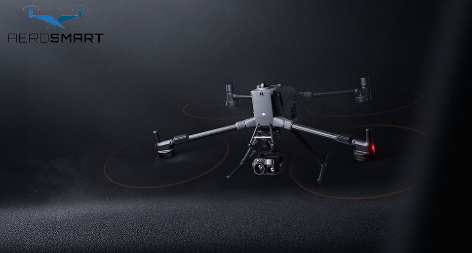
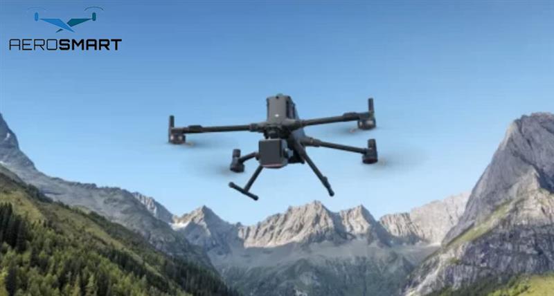
The data collection is the first step when using a
drone, and PIX4Dsurvey helps in the easy transformation of the data, making it
easy to deliver. When analysing terrain data or extracting more difficult data,
it helps the surveyors to get the CAD-ready design without repeating the
designs and get ready to use the data within the given timeline of a project. This
is how the right data helps ensure the efficiency of a project.
There is a risk of errors during manual intervention,
leading to inconsistencies. This is how the advanced tool supports effective
data extraction and eases the task of interpretation. When professionals handle
point cloud data, measurements need to be accurate to improve the reliability
of monitoring and surveying tasks. It further helps in construction and
planning in various projects.
To get hands-on a series of such software, look for
the best drone company in UAE. It can help you find the right software for
large and small projects. Data processing needs vary, and the software should
be feature-rich to handle diverse projects and convert data effectively. So,
when professionals handle a range of high-end and small-scale projects, such software can deliver
consistent results and ensure timely delivery.
How Software Choice Matters in Project Surveying?
Software choice determines the usefulness of the data,
as a drone helps capture quality images. So, professionals should look for the best
drone company in UAE that supports the best hardware and software for
operational efficiency. This is where effective software can make the best use
of drone captures.
If you invest in high-end processing tools, it reduces
the cost of operational faults. When a project involves repeated steps, an
efficient tool can reduce revision time. For recurring surveys, there is a need
for a consistent outcome that helps plan effectively and get quality project
results.
This further allows smart infrastructural plans when
the project site is in difficult terrain. The software helps users to get
quality visuals and plan with a predictable outcome at every stage. The reports
help focus on feasibility and prepare for the site, reducing the chance of
uncertainties in a project.
How does
the Software Helps in CAD-Ready Survey?
The software
helps turn raw data into insights that support effective analysis in a project.
PIX4Dsurvey helps professionals convert spatial data into accurate results,
improving efficiency. This is how the data conversion makes it easy to
collaborate and use the available data effectively for engineering and survey
tasks.
This is how
the software reduces the use of manual drawing, which is a crucial part of a
surveying job. Engineers need reliable designs that are valid, and a little
change in the dataset can hamper the overall results. So, it is better to
invest in advanced software than to incur the expenses of inappropriate data in
project work.
Author Bio
Aerosmart is a UAE company that provides a range of advanced drones for
effective geospatial solutions. The service solutions support surveying,
construction, and infrastructure projects. It ensures accuracy and compliance
in projects. The company experts easily integrate advanced drone software and
hardware into workflows across various projects in the UAE.
FAQs
1. Which Projects it is Useful For?
The drone series is suitable for infrastructure
projects, land surveying, and precise monitoring from above. It allows detailed
analysis and gets the correct data for the workflow.
2. How does PIX4Dsurvey reduce the Manual Task and
errors?
The Software enables precise data collection, which
supports further analysis in a professional project. This reduces the chance of
error or rework when every second matters in a project.
3. Can Everyone Use PIX4Dsurvey?
One should have basic CAD and surveying knowledge to
use PIX4Dsurvey. It helps with practical solutions, and one can use it without
training.
4. Can I Expect Accurate Results from the Software?
Yes, it is easy to get accurate results based on the
accuracy of the inputs you give. It is easy to pair with drones and get
accurate results for various applications.
5. How is this Software suitable for drone surveying?
If your project demands professional and quality
results for drone surveying, this Software is the best option to try. It helps
in easy data interpretation and facilitates the workflow.
6. Can Software Help Team members to collaborate?
The CAD files reduce the time required to collaborate
with group members with this Software. Try to get the latest version for the
best results.
Recent Posts


About
Empowering industries with cutting-edge drone technology, DJI Enterprise solutions, and expert support across the UAE and beyond.
Contacts
-
Address
Office 203, Al Tayer Commercial Building, Rolla Street, Bur Dubai, UAE
-
Phone
+9714 2238380 / +97150 157 6093
-
Email
-
Whatsapp
My Account
Customer Service
Subscribe to our newsletter for regular updates about Offers, Coupons & more
Follow Us
Empowering industries with cutting-edge drone technology, DJI Enterprise solutions, and expert support across the UAE and beyond.
-
Address
Office 203, Al Tayer Commercial Building, Rolla Street, Bur Dubai, UAE
-
Phone
+9714 2238380 / +97150 157 6093
-
Email
-
Whatsapp
