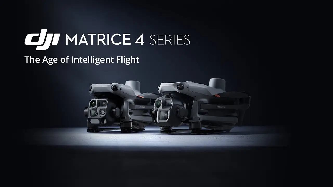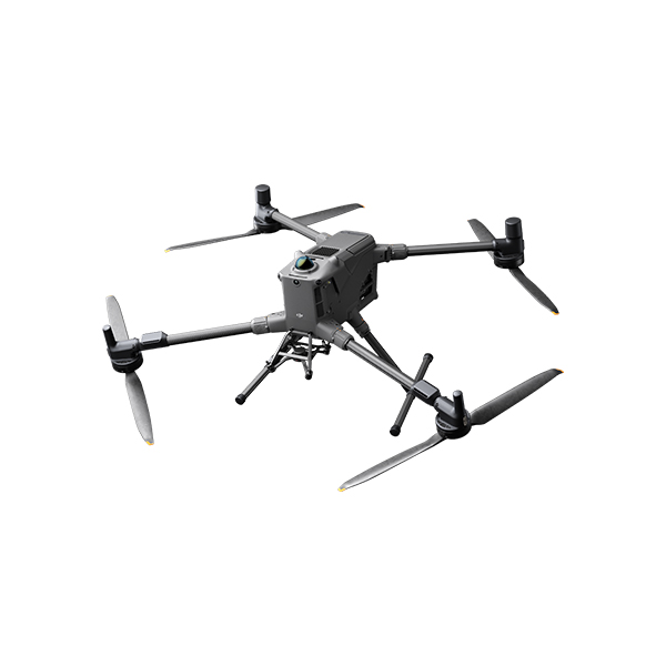
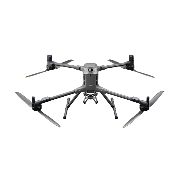
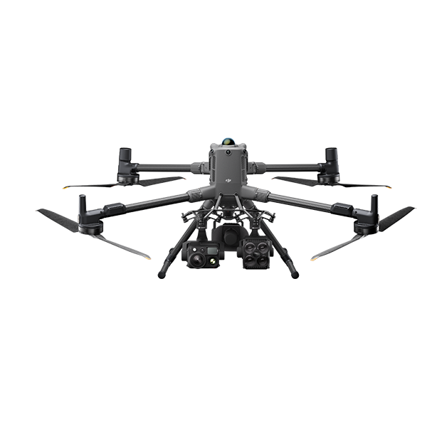
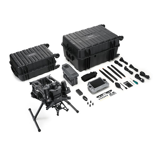
DJI Matrice 400
(0
reviews)
Share
The DJI Matrice 400 is set to become DJI’s most powerful enterprise-grade drone, designed to meet the rigorous demands of industrial applications across surveying, inspection, emergency response, and more. Expected to build on the legacy of the Matrice 350 RTK and Matrice 600 Pro, the Matrice 400 promises unmatched power, payload capacity, transmission range, and flight endurance.
Engineered for professionals who require reliability, intelligence, and versatility, the DJI Matrice 400 marks a new era in aerial operations. With an upgraded power system, sub-2GHz SDR communication module, and support for heavy industrial payloads, the Matrice 400 will empower operators to tackle complex missions with confidence and precision.
The Matrice 400 is designed as a true heavy-lift drone, capable of carrying payloads estimated up to 10 kilograms. Its power system is reportedly equipped with an industry-leading 977Wh battery, making it one of DJI’s most robust energy platforms to date. Compared to previous models like the Matrice 350 RTK or the Matrice 600 Pro, this substantial upgrade dramatically extends flight time, enabling uninterrupted missions for up to an hour depending on payload.
Whether deploying high-end LiDAR sensors, large format cameras, multispectral units, or dual-sensor payloads, the Matrice 400 is engineered to support complex aerial data collection without compromising on stability, performance, or safety.
One of the most notable features of the Matrice 400 is its support for a sub-2GHz SDR (Software Defined Radio) module. This long-range, low-frequency transmission module significantly enhances connectivity and signal strength, particularly in challenging environments such as mountainous areas, urban landscapes, or dense forests.
The low-frequency SDR ensures stable command and control for beyond visual line of sight (BVLOS) missions. This makes the Matrice 400 an ideal platform for remote inspections, pipeline monitoring, infrastructure scanning, and cross-border surveillance, where long-range operation is critical.
The DJI Matrice 400 is expected to support a wide variety of DJI and third-party payloads, offering complete modularity for diverse mission requirements. Key compatible payloads are likely to include:
High-resolution photogrammetry cameras (full-frame and medium format)
Multispectral and thermal imaging sensors
LiDAR scanners for terrain and structural mapping
Custom industrial payloads like gas detectors, loudspeakers, and LED spotlights
This compatibility transforms the Matrice 400 into an all-in-one solution for aerial mapping, asset inspection, public safety operations, and agricultural monitoring.
Continuing DJI’s tradition of intelligent flight automation, the Matrice 400 is expected to feature cutting-edge autonomous flight capabilities. Anticipated upgrades include:
Real-time waypoint planning with AI-powered mission optimization
Repeatable route flying for inspection and mapping
Smart tracking of vehicles and individuals with object-lock AI
Enhanced terrain follow and 3D flight mapping
With these intelligent systems, pilots can minimize manual input and optimize aerial workflows. This improves safety, increases efficiency, and reduces operational overhead.
The Matrice 400 will likely include a suite of safety systems essential for industrial-grade operations. Anticipated features include:
Dual IMUs, compasses, and barometers for redundancy
Obstacle avoidance sensors covering five or more directions
ADS-B receiver (AirSense) for manned aircraft awareness
Emergency return-to-home protocols and failsafe auto-landing
Encrypted data transmission for secure operations
Designed for mission-critical operations in complex environments, these systems ensure the Matrice 400 can be trusted for high-value flights with minimal risk.
The new high-capacity battery powering the Matrice 400 offers an estimated 55 to 60 minutes of flight time under standard payload conditions. The addition of hot-swappable battery functionality ensures that flight downtime is kept to a minimum. Operators can land, replace batteries, and redeploy in under two minutes without powering down the drone.
For field teams working on tight timelines or large survey sites, this efficiency translates to faster project completion and more productive operations.
Industrial drones must operate in tough conditions, and the Matrice 400 is designed with that in mind. It is expected to offer:
IP55-rated protection from dust and water
Reinforced airframe for wind resistance and shock absorption
Operational temperature range from -20°C to 50°C
Anti-interference shielding for electromagnetic-heavy environments
Whether deployed in freezing arctic winds or dusty desert environments, the Matrice 400 promises performance that professionals can rely on.
1. Surveying and Mapping:
With full-frame cameras and LiDAR payload compatibility, the Matrice 400 delivers centimeter-grade mapping accuracy for land development, construction, and topographic surveys.
2. Utilities and Infrastructure Inspection:
Inspect powerlines, pipelines, bridges, and towers with high-zoom and thermal payloads while maintaining a safe distance. The long flight time allows for large-area inspections without multiple launches.
3. Public Safety and Law Enforcement:
Deploy thermal imaging and zoom cameras for search and rescue, disaster response, and tactical monitoring. Stream real-time visuals to command centers for coordinated action.
4. Oil and Gas Monitoring:
Monitor remote oil rigs, pipelines, and refineries using gas detection sensors or LiDAR payloads. With BVLOS capability, the Matrice 400 is perfect for large asset monitoring.
5. Agriculture and Environmental Monitoring:
Capture multispectral imagery for crop health analysis or detect environmental changes using remote sensing tools over large farmland or protected areas.
As with DJI’s enterprise ecosystem, the Matrice 400 will likely integrate with:
DJI Pilot 2: For mission planning, live flight control, and payload settings
DJI FlightHub 2: For fleet management, real-time data sharing, and cloud-based coordination
DJI Terra: For 2D/3D mapping, orthomosaic generation, and point cloud processing
This ecosystem integration provides an end-to-end workflow from flight planning to data analysis, streamlining operations for professional teams.
Login or Registerto submit your questions to seller
No none asked to seller yet
Address
Office 203, Al Tayer Commercial Building, Rolla Street, Bur Dubai, UAE
Phone
+9714 2238380 / +97150 157 6093
Address
Office 203, Al Tayer Commercial Building, Rolla Street, Bur Dubai, UAE
Phone
+9714 2238380 / +97150 157 6093