Mastering Ground Sample Distance: Key to Precision in Drone Surveying
Mastering Ground Sample Distance: Key to Precision in Drone Surveying
The ground sample distance, often known as GSD, is an important statistic in the field of drone surveying, which is becoming increasingly popular among drone companies all over the world, including those in Dubai and the United Arab Emirates' drone industries. It is essential for any aerial surveying project to have a solid understanding of GSD and that it be calculated appropriately. This will ensure that the data that is produced is accurate and trustworthy. We are going to go into the fundamentals of GSD, including its applications and the significance it holds in the field of drone technology, specifically with regard to DJI drones.
Understanding Ground Sample Distance (GSD)
Defining GSD:
In drone mapping and photogrammetry, GSD is an essential component that must be present. Within an aerial photograph, it is a representation of the distance that exists between the centers of two consecutive pixels. When it comes to understanding the scale of a map and making judgments based on accurate information, this measurement is absolutely necessary.
Aspects That Make Accuracy in GSD Crucial:
It is possible for even a relatively slight inaccuracy in GSD to result in huge inaccuracies over enormous areas. Since this is the case, surveyors strive to get the lowest possible GSD value in order to guarantee the accuracy of the map and prevent any disparities between the digital representation and the actual physical reality.
Applications of GSD in Various Industries
Construction and Architecture:
Drones are used in the building and architectural industries to assess locations and provide assistance with thorough project planning. When it comes to constructing precise three-dimensional models and identifying particular dimensions within a project, accurate GSD calculations are absolutely necessary.
Cartography and An Evaluation of the Boundaries of Land:
When it comes to modern mapping and the determination of land borders, along with assisting in the resolution of property disputes and providing clarifications regarding land ownership, GSD plays an essential role.
Monitoring of the Environment and Mining Production:
In the process of surveying mines and quarries, as well as in environmental monitoring which includes the tracking of forest fires, drones that are equipped with accurate GSD measurements are of critical importance.
The Process of Establishing the Appropriate Level of GSD Accuracy
The level of GSD accuracy that is required varies according to the particulars of the project. In order to achieve more precision, precise work requires a lower GSD, whereas larger-scale projects may be able to accept a higher GSD. As an illustration, the marking of expansive property boundaries might necessitate drone flights at a higher altitude in comparison to detailed building measurements.
A Guide to Calculating the GSD
It is necessary to have an awareness of a variety of drone specs in order to calculate GSD. These specifications include sensor size, picture dimensions, focal length, and flying height. It is possible to perform the calculation manually by employing formulas for GSD height (GSDh) and width (GSDw), or it can be done through the use of online calculators for convenience, particularly for individuals who are less competent in performing manual calculations.
Introducing the Matrice 300 RTK: A Companion for Surveyors
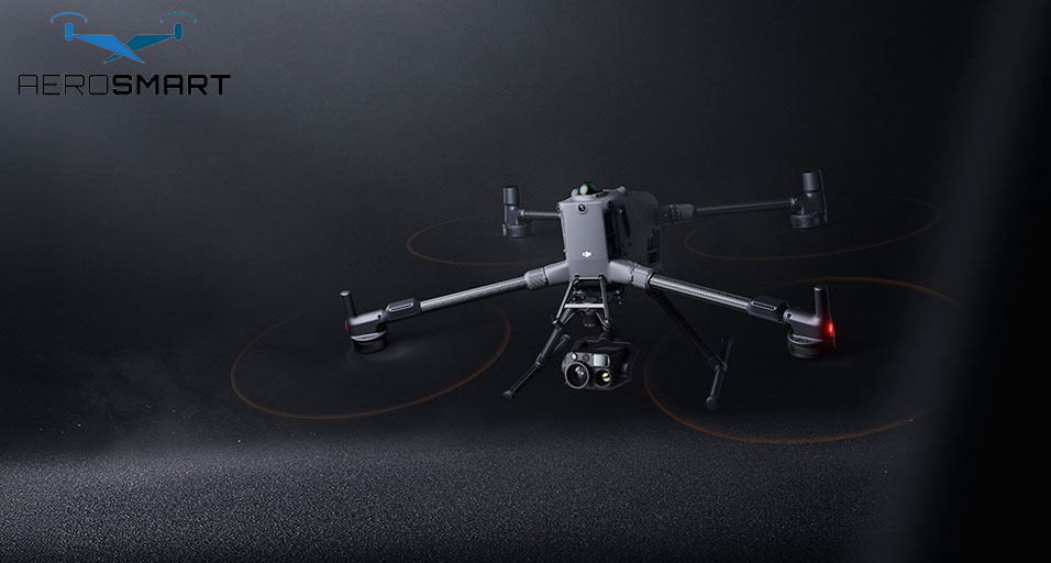
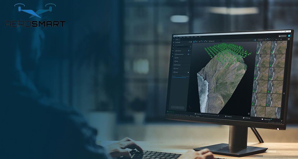
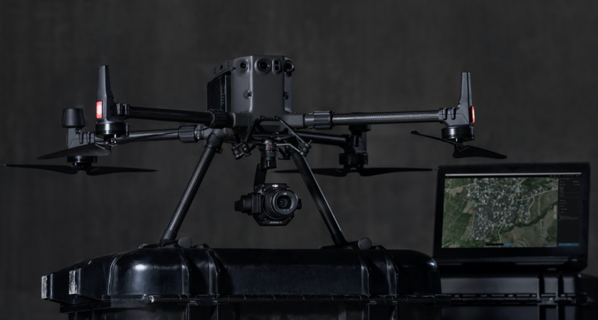
For the purpose of surveying, the Matrice 300 RTK, in conjunction with the Zenmuse P1 camera and DJI Terra software, is a prime example of the progress that has been made in drone technology. This drone model, which is becoming increasingly popular among drone companies and service providers in Dubai and the United Arab Emirates, guarantees accurate measurements down to the centimeter level, is sturdy enough to handle any kind of fieldwork, and has extensive data processing capabilities.
The Role of Drone Repair and Maintenance
Frequent drone repairs and maintenance are really necessary in order to guarantee the precision and dependability of drones that are utilized in surveying. It is essential to have professional services in Dubai and the United Arab Emirates for drones in order to maintain the highest possible level of functionality for these complex equipment.
Concluding remarks: At a time when drone technology is at its most advanced, GSD
Understanding and putting GSD into practice is becoming increasingly important as drone technology, and DJI drones in particular, continue to advance and get integrated into a variety of industries throughout the world. Whether it is for the purpose of creating complex architectural models, conducting comprehensive land surveys, or monitoring the environment, the precision that is supplied by correct GSD calculations is absolutely necessary. As a result of the availability of drones such as the Matrice 300 RTK, surveyors are able to manage a wide variety of projects that present a variety of challenges. This makes aerial surveying a vital tool in our increasingly digital world.
